Architect & Engineer



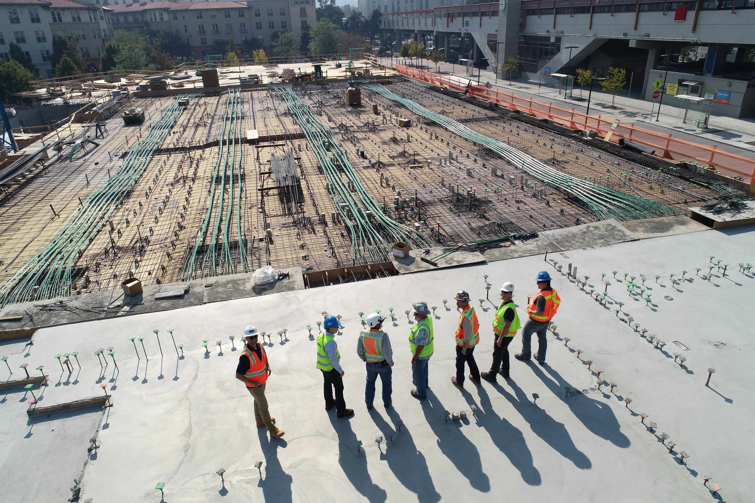
Clarson & Associates provides architects and engineers with precise, dependable survey data that forms the foundation of successful project design and planning. Our team understands the importance of accuracy during every phase of development, from conceptual layouts to final construction documents. By utilizing advanced surveying technology, including GPS, LiDAR, and remote sensing systems, we deliver detailed topographic surveys, boundary information, and existing conditions data that help design professionals reduce conflicts, improve efficiency, and move projects forward with confidence. With extensive experience throughout Jacksonville and Northeast Florida, we provide responsive service and reliable results tailored to the unique demands of each project.