Remote Sensing/LIDAR

Remote sensing and LiDAR technology are especially valuable for projects involving complex terrain, dense vegetation, roadway corridors, floodplain analysis, and large-scale development sites. By combining cutting-edge technology with experienced survey professionals, Clarson & Associates can reduce field time, improve project efficiency, and provide clients with dependable data for informed decision-making. Our team is committed to delivering precise results that help keep projects on schedule and moving forward with confidence.
As surveying technology continues to evolve, Clarson & Associates remains dedicated to investing in modern equipment and innovative solutions that enhance accuracy, safety, and efficiency. By integrating remote sensing and LiDAR systems into our workflow, we provide clients across Jacksonville and the surrounding regions with dependable surveying services tailored to the demands of today’s construction and development industries.
Cutting Edge Technology
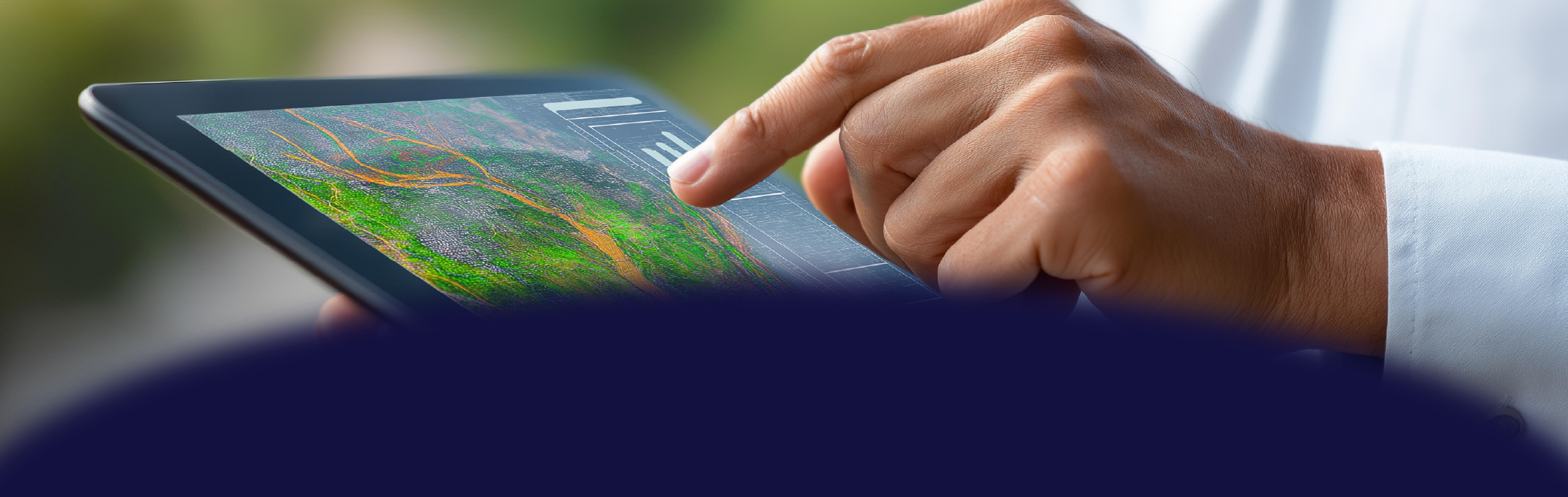
At Clarson & Associates, we utilize advanced remote sensing and LiDAR technology to provide accurate, efficient, and reliable surveying solutions throughout Jacksonville and Northeast Florida. Remote sensing allows our team to collect detailed geographic and topographic data using drones, aerial imaging systems, and laser-based technologies without direct contact with the terrain. These innovative methods enable us to efficiently survey large or difficult-to-access areas while maintaining the high level of precision our clients expect.
Our LiDAR systems use high-speed laser pulses to capture millions of data points across a site, creating detailed three-dimensional models of the land, structures, vegetation, and infrastructure. This technology allows Clarson & Associates to deliver highly accurate elevation models, contour mapping, and existing conditions data for projects of all sizes. Whether mounted on drones, aircraft, or terrestrial scanners, our LiDAR equipment provides comprehensive datasets that support engineering, construction, development, and environmental planning.
Create something you're proud of.
Whether you're just starting out or taking things to the next level, we have everything you need to connect, engage, and make something truly yours.
Sample of LIDAR Overview
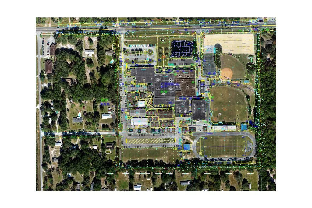
Clarson & Associates utilized advanced LiDAR (Light Detection and Ranging) technology to capture highly accurate, three-dimensional data for the Clay County High School campus. By rapidly collecting millions of elevation points across the site, LiDAR provided a detailed representation of existing buildings, pavement, athletic facilities, utilities, drainage features, and surrounding terrain. This comprehensive dataset allowed project stakeholders to efficiently evaluate existing conditions, support planning and design efforts, and make informed decisions throughout the project's development. Through the use of modern remote sensing technology, Clarson & Associates delivered precise, reliable geospatial information that helped streamline the surveying process while reducing time spent in the field and minimizing disruptions to the active school campus.